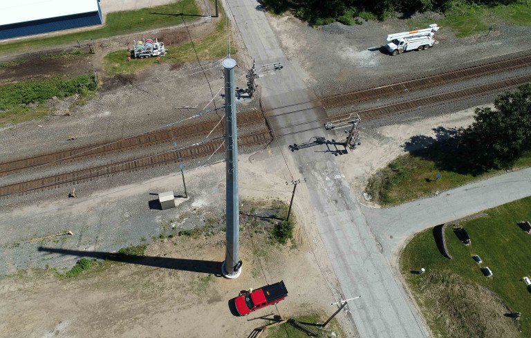
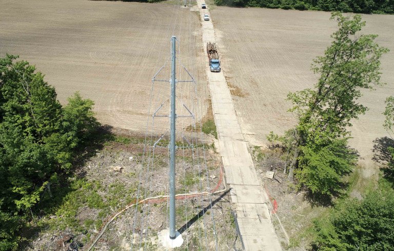
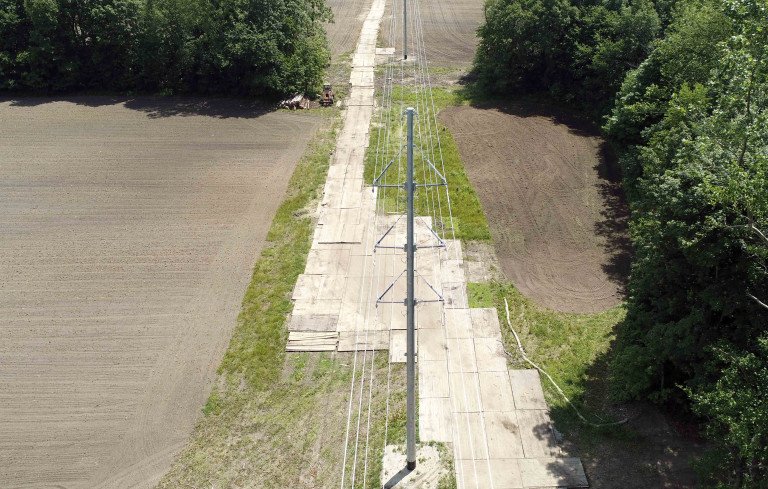
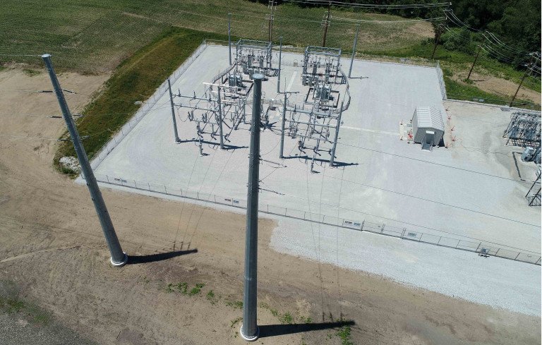
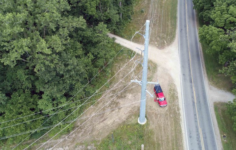
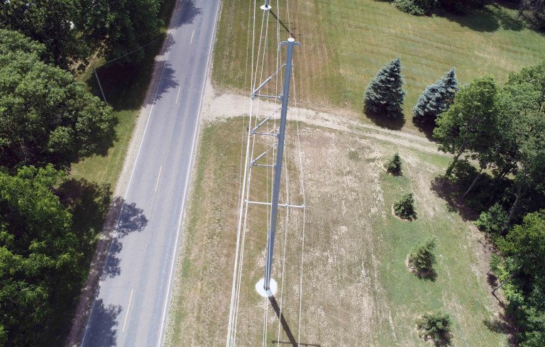
Drone Flights over Transmission Structures
Wightman utilized cutting-edge technology to close out two utility transmission line projects that began in 2017. Our team captured as-built photos on a total of 322 newly constructed transmission structures for a line that stretched between New Carlisle and Laporte, Indiana and the Mottville Dam and White Pigeon, Michigan.
Previously, photos of transmission lines were typically shot from the ground which allowed for a more cost-effective alternative rather than renting an airplane to film the structures from the air. However, photos from the ground often omitted finite detail needed of the top of the structure and lines. Drone technology has advanced the imaging capabilities for utility projects, and Wightman's Reality Capture team was called into action; our utility partner requested Wightman perform drone flights to capture images of the transmission structures from above.
Coordinate files and Google Earth KMZ files, including each structure location along with top of pole elevations, were prepared for the Reality Capture team. Wightman, with their licensed drone pilots, was able to collect a total of 608 photos which were then processed by the Survey team according to specifications by the client. This project has led to another opportunity with the same client in Dresden, Ohio where we have been in the process of capturing photos for another 115-structure transmission line.
Wightman's Reality Capture team is also exploring further options to automate the process using the supplied coordinate and elevation data to allow the drone to automatically fly to each structure and take the necessary photos without having to rely on the pilot alone to maintain safe distances from the energized transmission wires. The increased attention to safety, detail, and efficiency which will allow for greater opportunities for this type of work with all our utility clients.
Complimentary Services