Tree Management Solutions
Wightman understands the critical role trees play in maintaining a healthy and safe community. Trees are more than just a vital asset to our environment, they are essential to the quality of life in our urban areas. Our parks and green spaces are sanctuaries for mental and physical health, offering residents a place to relax, exercise, and connect with nature. By effectively managing these green assets, we help foster environments that promote well-being and sustainability. Using GIS technology, we provide comprehensive tree management solutions that ensure the longevity and health of our green spaces.
Why map trees and what are the benefits?
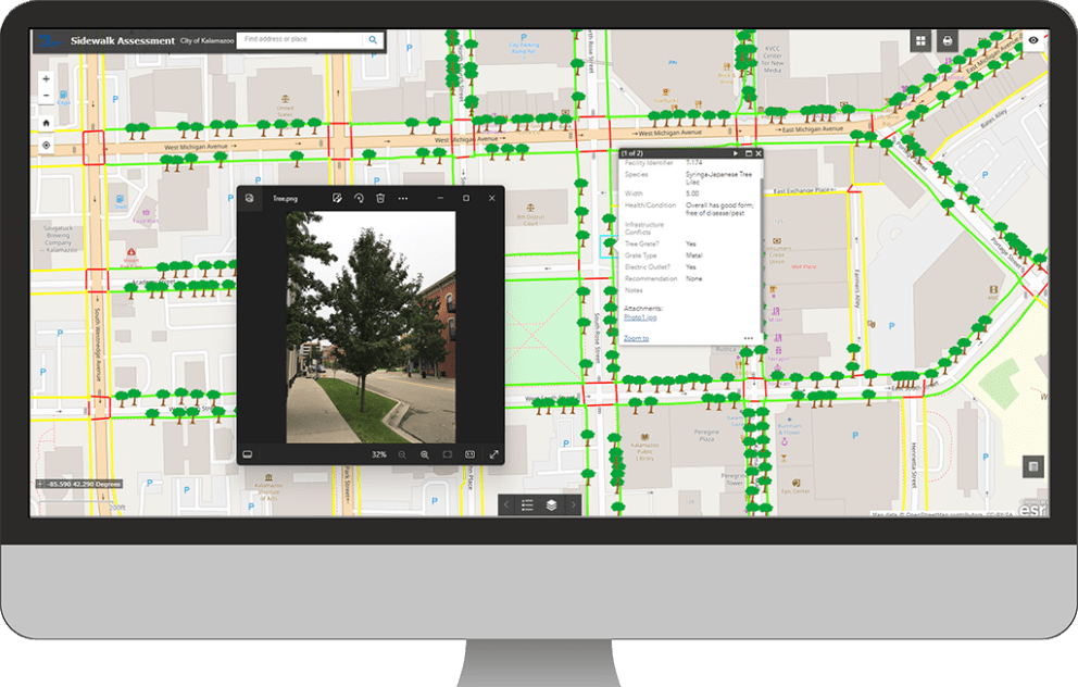
- Conduct precise inventories of trees to analyze spatial distribution by species and other attributes such as species, height/diameter, and overall condition/health
- Assess the overall health of the tree population and identify areas with disease or other issues
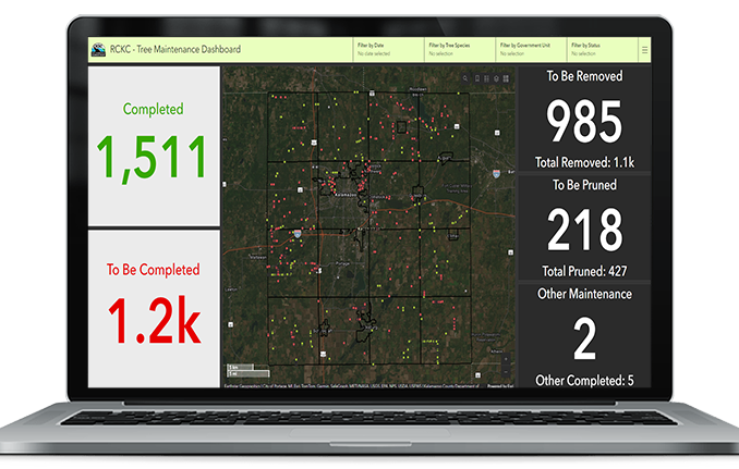
- Perform regular maintenance and trimming activities and track progress within the tree database for easy documentation
- Quickly identify areas lacking tree coverage throughout the community
- Plan and budget future tree planting activities efficiently using a data-driven approach
- Monitor tree growth and changes over time with advanced GIS analysis
- Easily identify and mitigate infrastructure conflicts with overhead utilities and buildings
- Enhance public safety by identifying and mitigating risks from damaged or hazardous trees
- Provide detailed reports and visualizations to support urban forestry planning and decision-making
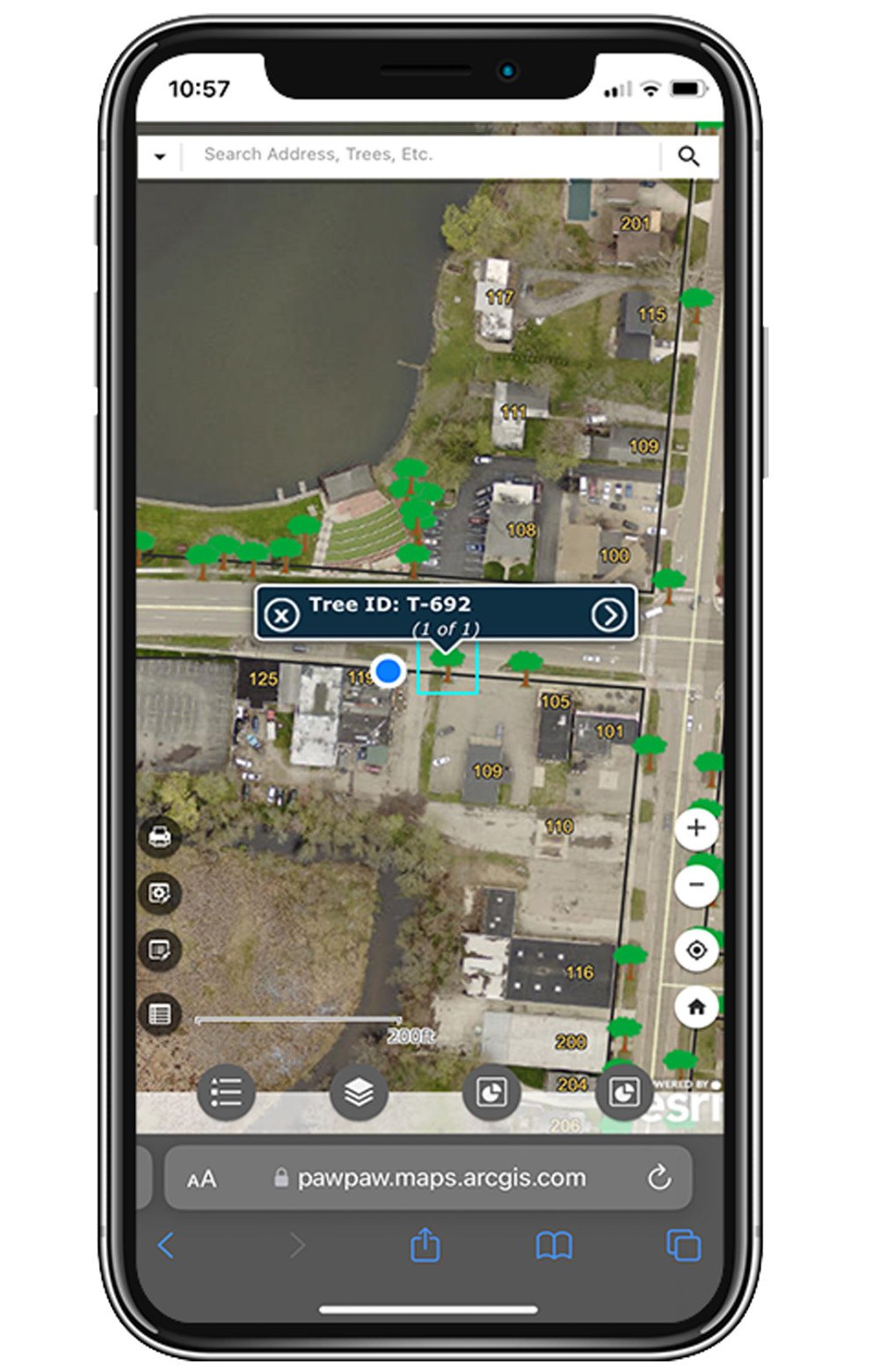
- Facilitate community engagement by sharing interactive maps and tree data with the public
- Optimize water usage and irrigation strategies for tree care based on environmental data
How do we do it?
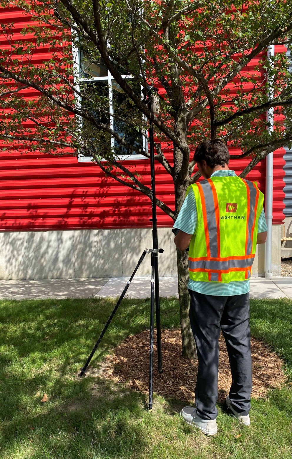
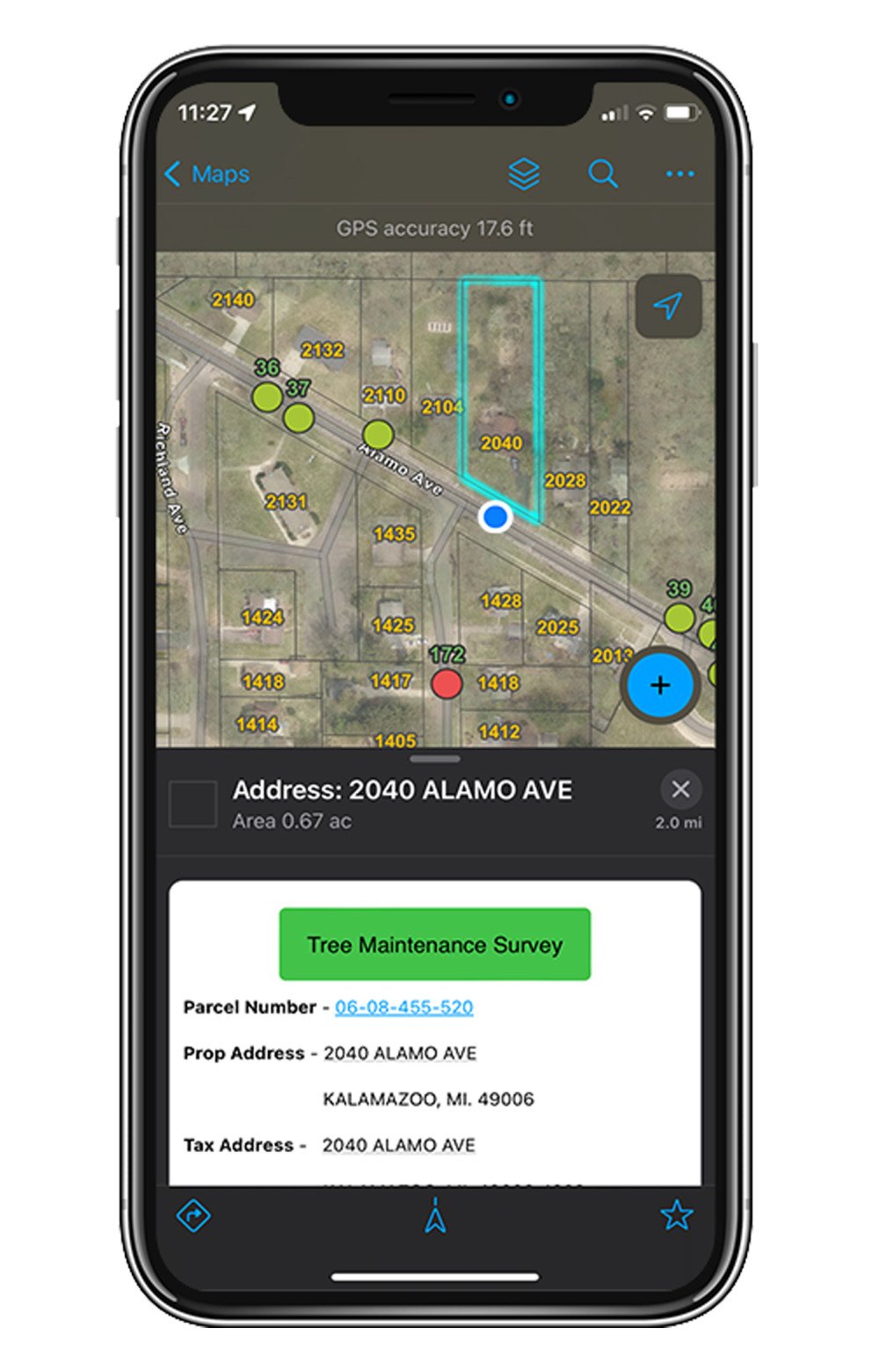
- Tree Inventory and Assessment: Utilizing our high-tech GPS equipment to provide detailed mapping of tree locations, species, condition, and other attributes provides a clear and comprehensive view of the urban forest. This helps in planning and maintaining green spaces more effectively.
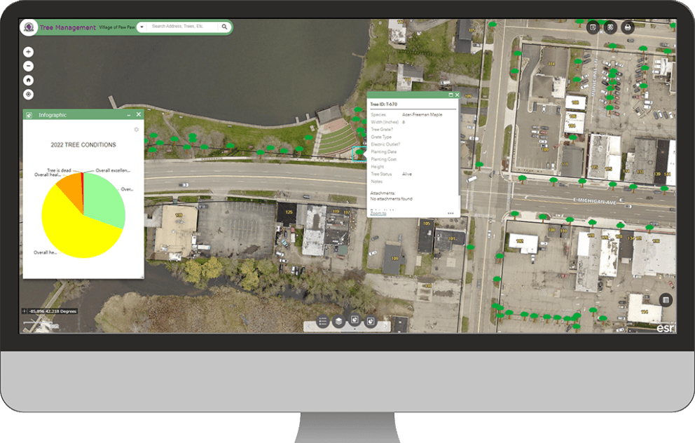
- Analyze Tree Diversity and Location: By leveraging our comprehensive tree database in GIS, we analyze tree species and locations to understand their distribution throughout the community. This analysis guides the strategic planning and planting of new trees to enhance diversity.
- Develop GIS Applications: We will develop a user-friendly GIS map and application for your staff to manage the tree database moving forward, document maintenance, and monitor tree health. The application will help you optimize resources for tree maintenance and planting to ensure that efforts are focused where they are most needed.
- Provide Training: Our team of GIS professionals will train your staff to maintain and update the tree database, ensuring they can keep records up-to-date, accurately document ongoing maintenance, and continue to utilize it for planning purposes.
Grant Funding Opportunities
Take advantage of available grant funding to support your tree management initiatives. Our team can assist you in identifying and securing grants to help finance your projects.
Learn more about Urban & Community Forestry Grants through the Michigan DNR.
