Mammoth Cave-Kentucky
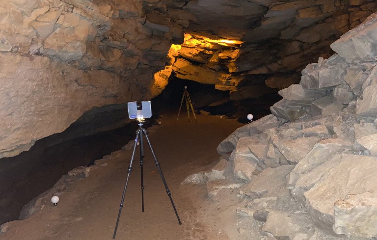
Wightman has been serving as a Reality Capture resource for the United States National Park Service (NPS) for many years, providing 3D laser scanning, modeling, drone and imaging services. Many of these services have been applied to several historical and interesting sites in the Eastern region of NPS locations. One of these locations, Mammoth Cave National Park in Kentucky, has been an ongoing project for the NPS.
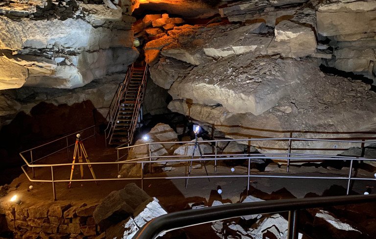
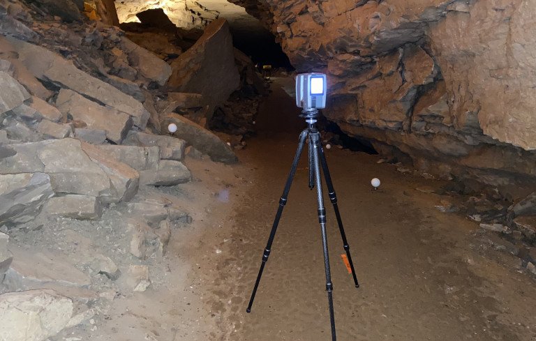
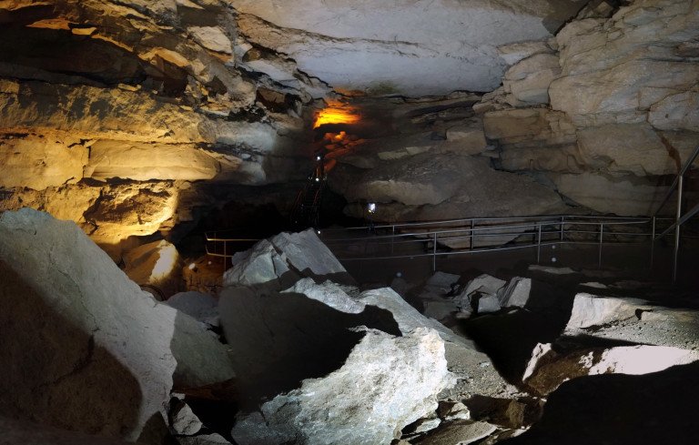
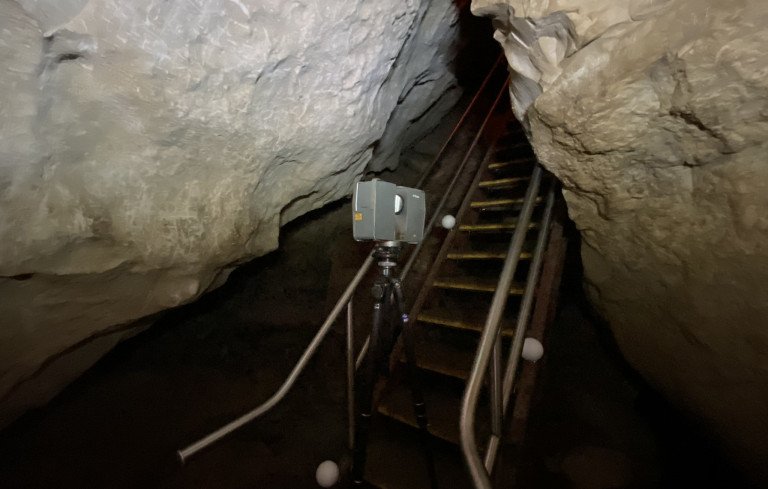
Extensive mapping efforts have been conducted throughout the cave systems, hiking trails, and facilities. Initially, laser scanning and 3D modeling was requested throughout some of the cave trails that were undergoing safety upgrades and trail reconfiguration. The value was quickly realized by the NPS that the use of this technology gave all stakeholders much greater visibility into the design challenges associated with the projects. As one can imagine, the complexity of orchestrating subterranean construction projects can be very timely and expensive. The use of the 3D documentation saves time and money in the design and implementation of the construction projects.
True 3D digital copies of the cave surface, trail configuration, stair and walking platforms, lighting and electrical systems allowed for virtual redesign conception models to be placed and viewed inside the virtual copy of the site. This same theme applied to existing above ground trailheads around the park as design work does not just end with the cave systems. The ability to be able to capture ground information for topographic measurement and the surrounding trees and vegetation is all critical information that was used for design and constructability studies for improvements to the extensive trail system within the park.
Additionally, laser scanning and BIM was also requested for the redesign of the park’s visitor center. Information on the building façade along with elevated boardwalks, suspended walking bridge, utilities, roadways and topographical data were all collected and modeled with (Lidar) laser scanning data. This substantially lowered the impact to park operations during the survey process.
To understand the importance of laser scanning, one only has to look at a recent heavy rain event at Mammoth Cave. Following a storm, swollen rivers running through the site caused severe erosion to one of the elevated pedestrian bridges that spanned a tributary to one of the rivers. Drone imaging and 3D laser scanning was used to expedite the structural assessment of the situation so that the Park service could act quickly and minimize any safety risks involved in acquiring the needed data for the engineers.
The NPS continues its efforts to update its various facilities, understands the benefits of laser scanning, and utilizes modern-day technology to protect the assets of the past for future generations.
Complimentary Services