Elkhart Hydroelectric Flowage Land Mapping-Elkhart County, Indiana
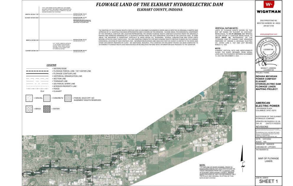
This project highlights the daunting task of passing the torch of institutional knowledge acquired over decades to the next generation. Wightman, a long-term surveying services provider to AEP, was hired to perform 13 miles of mapping and flowage rights review along the St. Joseph River, from Elkhart to Bristol, Indiana. The flowage rights were acquired over a century before and had witnessed considerable development, including numerous encroachments into the flowage lands.
Wightman was awarded the Elkhart Flowage Land Mapping project in October 2022, based on competitive pricing as well as their longstanding reputation of delivering large scale projects within very tight timeframes. AEP required the flowage maps before year’s end, which required a substantial team effort at Wightman. Wightman not only utilized over 30 members of their own staff, but also worked collaboratively with an AEP consultant who had been brought out of retirement to pass on his knowledge about the area, transmission line lineage, and history of flowage right conveyances along the river.
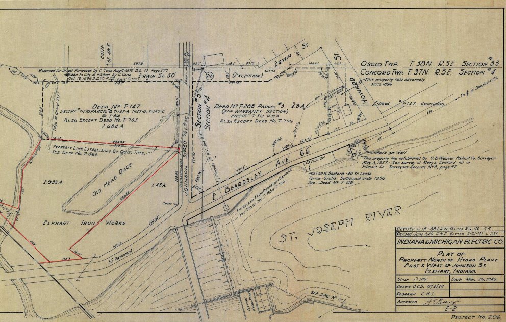
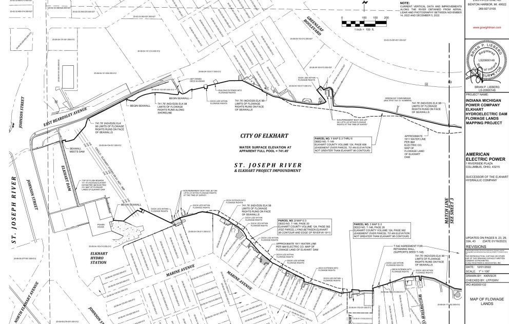
With the original 12-page paper maps in hand – which included a vertical datum that predated 1912 – Wightman went to work. In eight weeks, despite challenging winter weather and an early arrival of a blanket of snow which impeded drone operations, Wightman delivered an extensive digital map and 46-page paper map that AEP can rely on to assist in identifying the encroachments into their flowage lands. The deliverable produced will ensure the torch of institutional knowledge will successfully be passed to several generations to come.
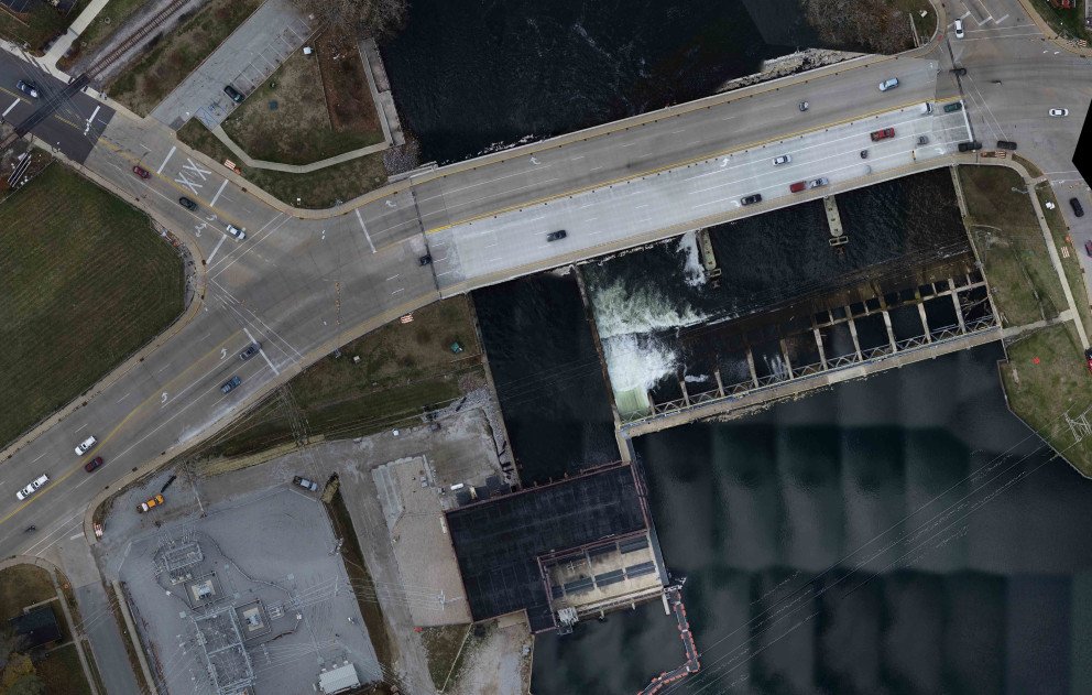
By combining traditional survey techniques with modern mapping methods, including use of drones equipped with high resolution imagery and outfitted with LiDAR sensing technology, Wightman was able to deliver a comprehensive digital mapping plan set ahead of schedule and within budget.
