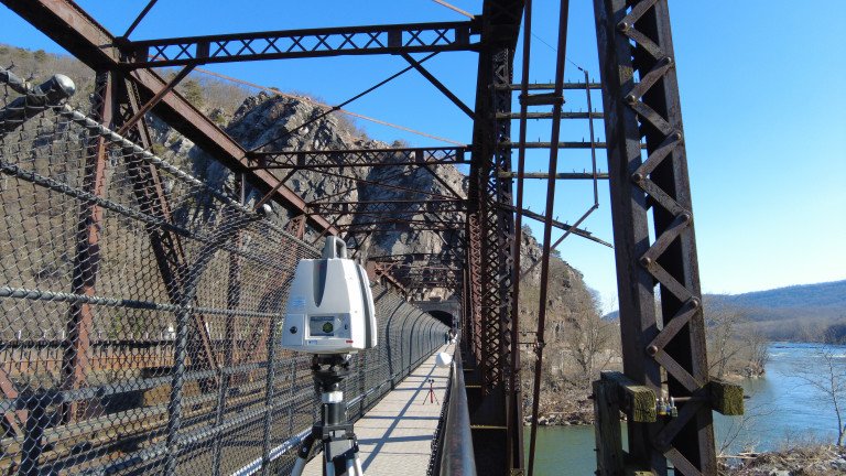
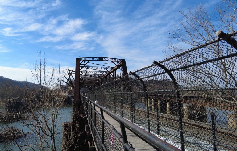
Byron Bridge, National Park Service-Harpers Ferry, West Virginia
Harpers Ferry National Historic Park, located in West Virginia, has a long and storied history with water....a lot of water.
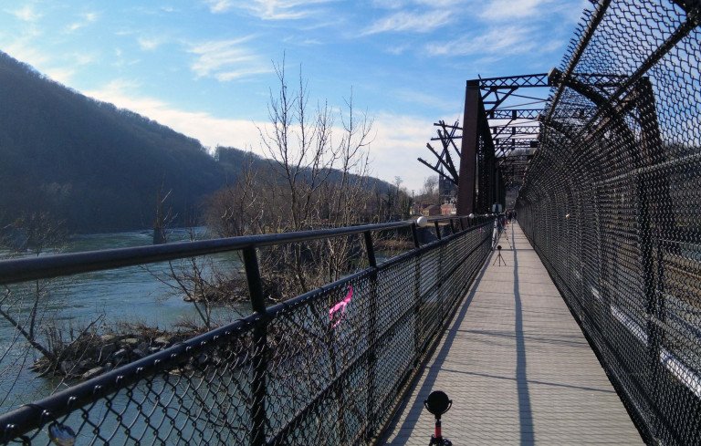
The site is meeting point of the Potomac and Shenandoah Rivers, a span of between 700 and 800 feet, and home of the Chesapeake Watershed. The site is also notorious for flooding with the first flood event occurring in 1748, according to local lore. Subsequent flood events included the "Pumpkin Flood" in 1753, the closure of the Shenandoah Canal from rising waters in 1877, a 34.8-foot flood in 1889, the all-time record crest of 36.5 feet in 1936, and a rare two-flood event in 1996.
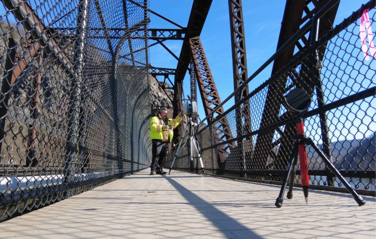
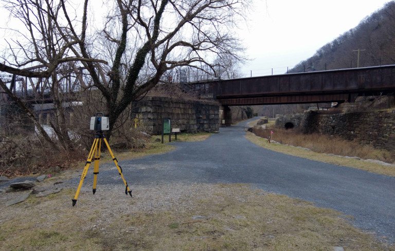
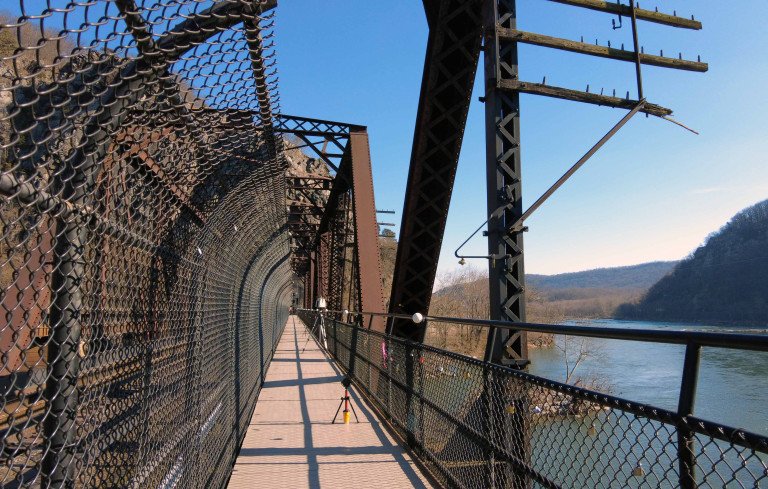
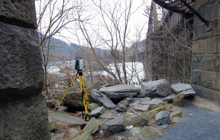
VHB was tasked by the National Park Service to complete a 100-year flood study at Harpers Ferry. A key component in the study is the impact of the rising and receding water levels on nearby Byron Bridge and CSX railway bridge. VHB, in turn, reached out to the Reality Capture experts at Wightman to provide accurate laser scanning and deliverables. The scanning was completed on time and on budget and will provide metrics for the NPS to utilize in future potential projects.
Complimentary Services