ALTA/NSPS Land Title Survey Helps School District Make an Informed Property Purchase
Article | 03.02.2021Plans for expansion take shape in a variety of ways. Often it includes purchasing land or utilizing a parcel already owned. As a school district considers a building site for compatibility with its building plans, one of the most useful tools in that process is an American Land Title Association (ALTA) / National Society of Professional Surveyors (NSPS) survey prepared by a licensed surveyor.
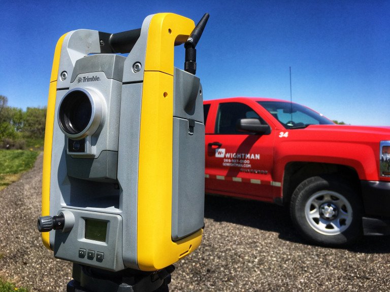
Wightman’s team of survey professionals recently assisted Caledonia Community Schools in Michigan on just such a project by performing an ALTA survey. In the summer of 2020, the district was looking for land to be used for future expansion. The site under consideration was adjacent to existing school property, making it a promising fit. However, questions remained about the suitability of the site for future expansion plans.
During land transactions, lenders and title companies often require that an ALTA survey be performed prior to closing to protect their interests. But, beyond these third-party requirements, an ALTA survey can provide valuable information to the purchaser by revealing information not evident by just looking at property records. This can ultimately aid in determining if the property can be used in the way the purchaser wishes.
An ALTA survey is prepared to exacting standards that outline the surveyors’ responsibilities, the clients’ responsibilities, information to be gathered in the field, and what information must be reported on the survey drawing.
“ALTA guidelines ensure consistency and help clients know in advance what to expect from the final survey product,” stated Gary Hahn, Survey Regional Manager based out of the Kalamazoo office. “Additionally, a menu of 20 optional survey responsibilities and specifications is available from which a client can choose to add to their ALTA survey report, better customizing it to their particular needs.”
In Caledonia Community School’s situation, they were interested in knowing the basic details all ALTA surveys provide, as well as several of the optional services. Among those things the school district learned:
Exact location of existing above ground improvements – The survey showed where ball fields, irrigation pumps, a concession building, utility poles, fences, asphalt pathways, and other permanent improvements were situated.
Property boundaries – Property lines, as they lie in relationship to property improvements, were clearly delineated. Encroachments of items such as fences and pathways, along with exact measurements, were also included on the drawing.
Location of easements – In Caledonia’s instance, utility easements running through the middle of the property were of particular interest. Easements can legally prohibit structures and improvements from being built over them, or within a stated distance. The ALTA survey allows the client and their legal representation to review the exact placements and possibly approach the easement holder to explore the possibility of an easement being vacated or reduced.
Spot elevations – An option the school district chose was to include measurement and depiction of ground contours. Each contour line on the survey drawing represents one foot of elevation change. This information is important for pre-construction site engineering as it reveals how surface water will flow as well as allowing engineers to “balance” proposed site grading to eliminate or reduce how much fill must be brought in or removed from the site to build improvements. This helps reduce overall construction expenses.
Other options the district chose were to have the Wightman team discover underground utility information through submittal of a MISS Dig design ticket and researching FEMA Flood Plane Maps to determine whether the property lies within a flood zone.
“Surveyors are the first on the ground for projects like this,” stated Hahn. “While the work we do has an immediate use in satisfying requirements for title insurance and financing, it goes beyond that. It becomes the foundation upon which site engineering and architectural designs are based.”
Hahn went on to add that survey work also has a direct impact on other services offered by Wightman including landscape design and environmental services.
Visit here to learn more about Wightman’s survey services .