Paw Paw Tunnel, C&O Canal Towpath-Maryland
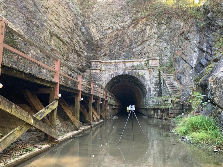
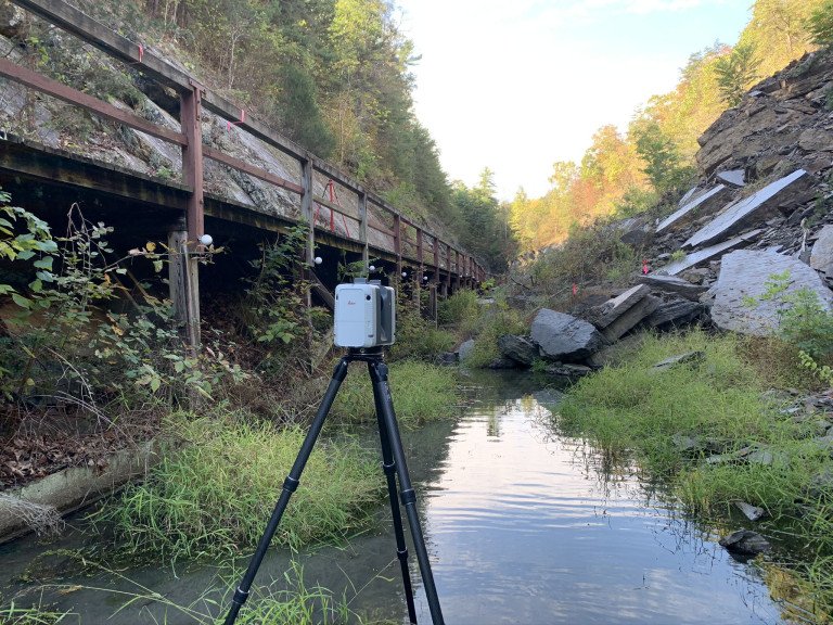
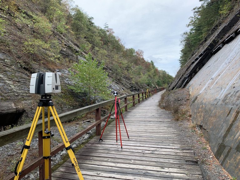
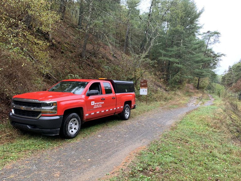
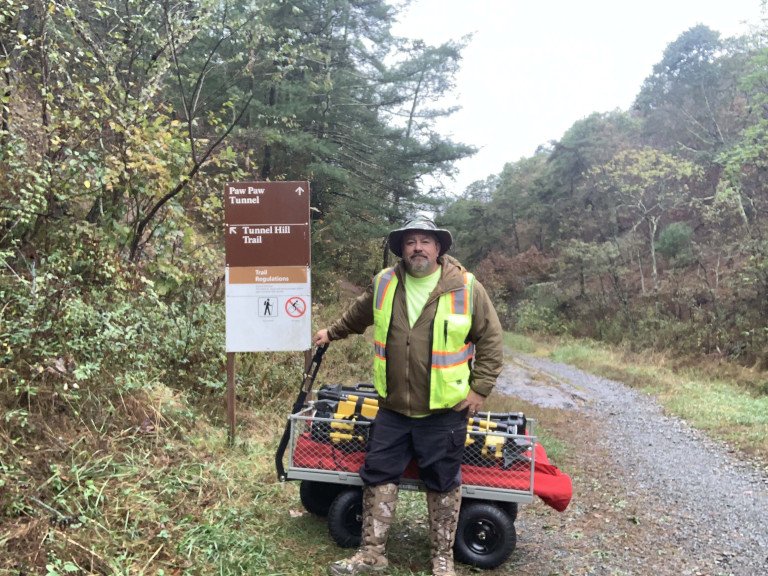
Wightman had the distinct pleasure of being selected to scan the Paw Paw Tunnel in Maryland, which is a portion of the 184.5-mile C&O Canal Towpath. This section is part of the Potomac Heritage National Scenic Trail network with oversight performed by the National Parks Service.
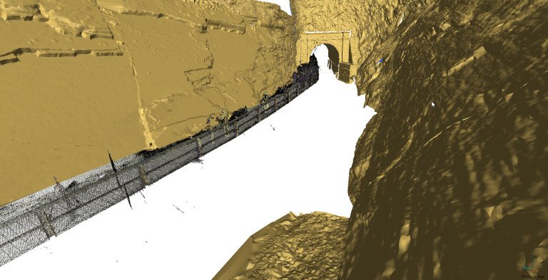
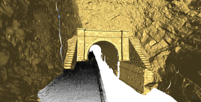
The Paw Paw Tunnel is a popular site with tourists and students. Bike paths, hiking trails, and educational programming are offered along the tunnel route. However, the deteriorating condition of the tunnel walls, due to fissures and falling rocks, and aging boardwalk pose a hazard for those enjoying the great outdoors.
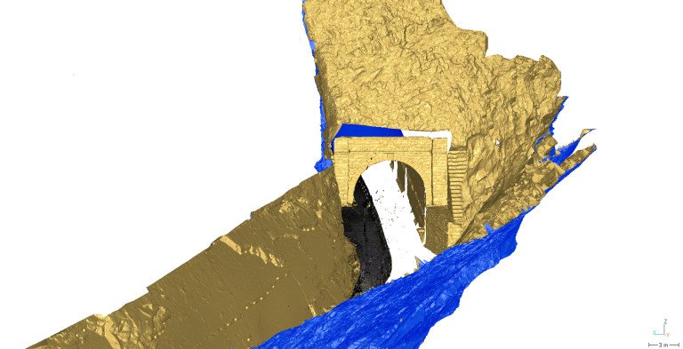
Wightman performed 3D laser scanning of the valley including a 1,500-foot stretch of hard rock surface features and existing stabilization measures, along with the boardwalk and slope areas. Drone flights were utilized for inspection images on rock surface areas for geotechnical analysis and to supplement with laser scanning data to develop contouring and 3D mesh surface models. Project deliverables to the Client included 3D modeling, integration of all surface models, contouring, boardwalk, and inspection images in a format that is compatible with their GIS ESRI project formats.
Complimentary Services